")
")

The WIS will be set up as a distributed database application, with text-based data and geo-referenced thematic map layers stored on different servers and linked together through the network system at SWA HO and a website hosted by the SWA to make data/information/maps available to all user groups. The website will incorporate different levels of secure access to different kinds of information. An inter-agency group will be established to coordinate the development of this distributed database. Initially, information on the website will come from the SWA HO servers. In future, data stored on servers at Hydromet, the Hydrogeology Department and other agencies can be linked into the website via a portal application. The primary advantage of the portal application is that the agencies will be able to retain full control over data that are stored locally on their servers. The WIS will consist of a number of relational databases, including the National Water Cadaster, irrigation system passports, WUA information and water delivery data, and a water resources geospatial database for thematic map layers. Automated flow data from the SDC irrigation automation project in the Chui Basin will also be posted on the WIS. As other organizations are brought into the system, the WIS will incorporate additional information on river discharges and discharge forecasts, weather, groundwater availability, and groundwater table elevations. Documents, such as basin management plans and maps, will also be posted.
+996 312 54 70 49 water.gov.kg
Water information portal
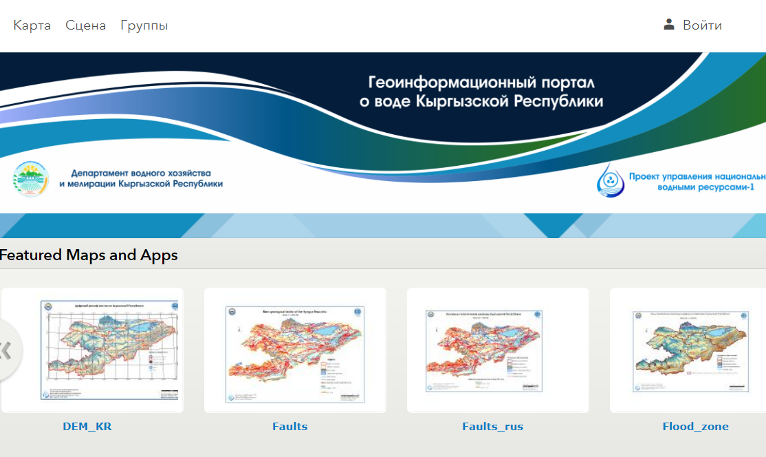
Geo-information portal
Welcome to the geo-information portal. Portal topics: GIS (geographic information systems), cartography, remote sensing (remote sensing of the Earth), geodesy, topography, cadastre.
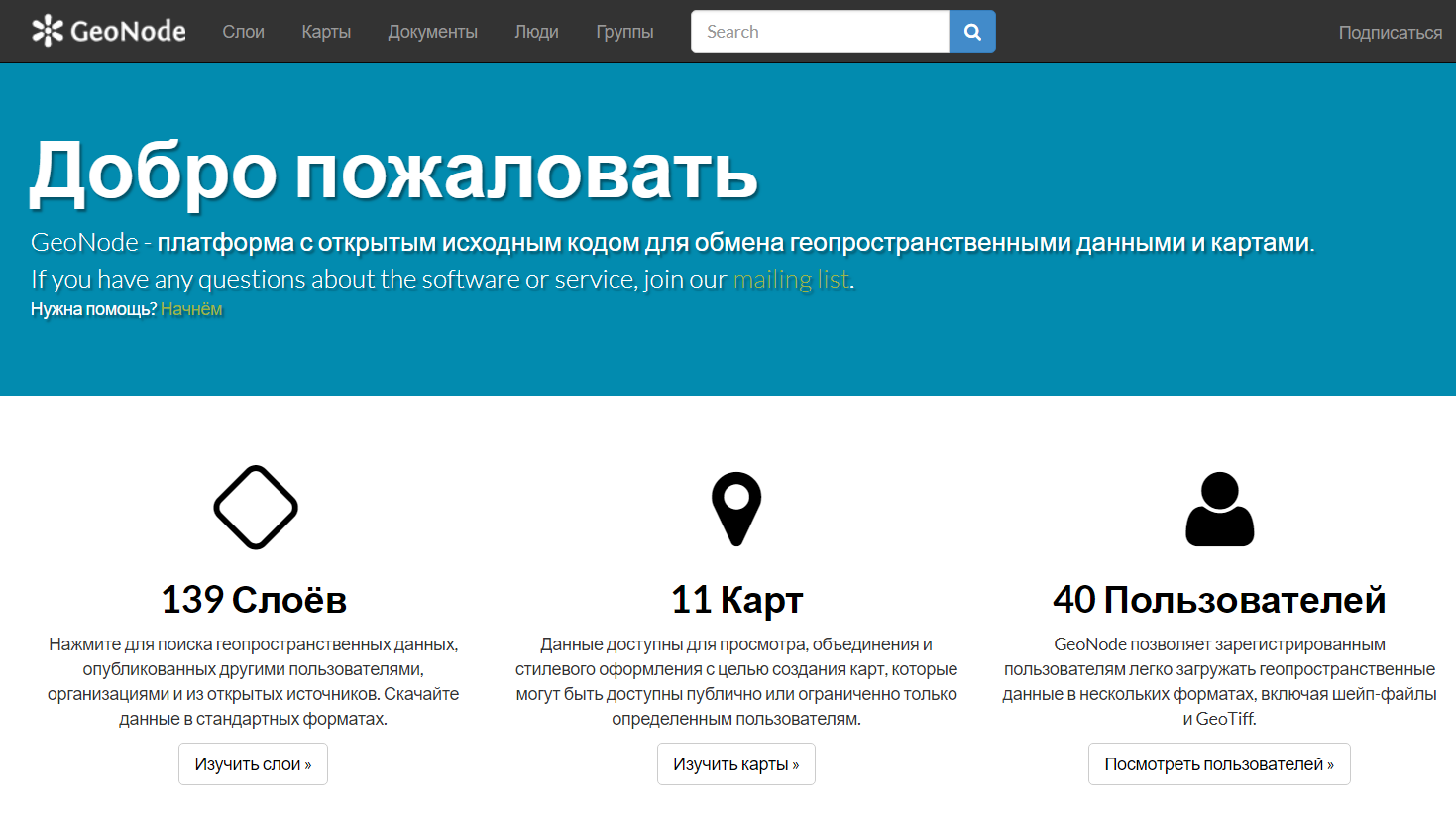
GEONODE
GeoNode - open source platform for sharing geospatial data and maps
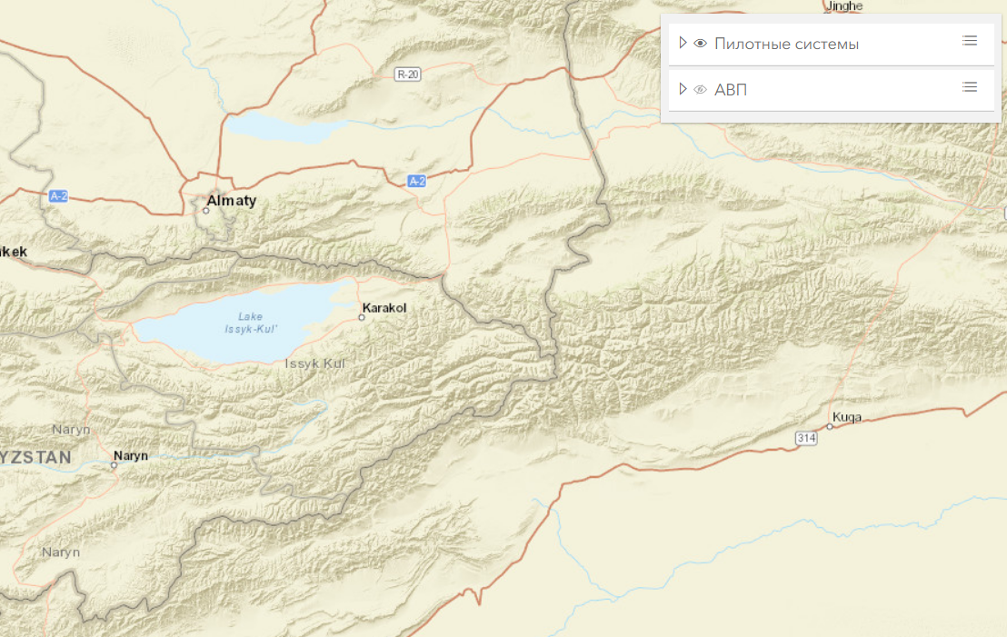
6 pilot systems and WUAs
Geo-information portal on 6 pilot systems and WUAs
Information water system