+996 312 54 70 49 water.gov.kg
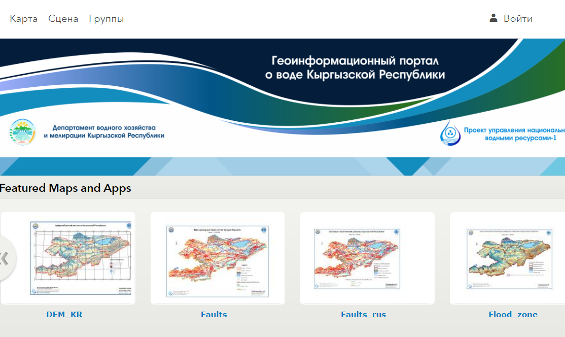
Geo-information portal
Welcome to the geo-information portal. Portal topics: GIS (geographic information systems), cartography, remote sensing (remote sensing of the Earth), geodesy, topography, cadastre.
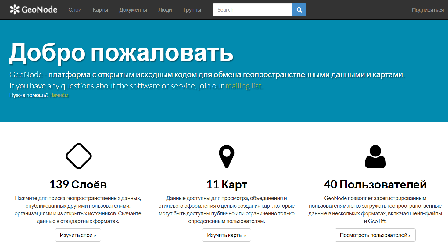
GEONODE
GeoNode - open source platform for sharing geospatial data and maps
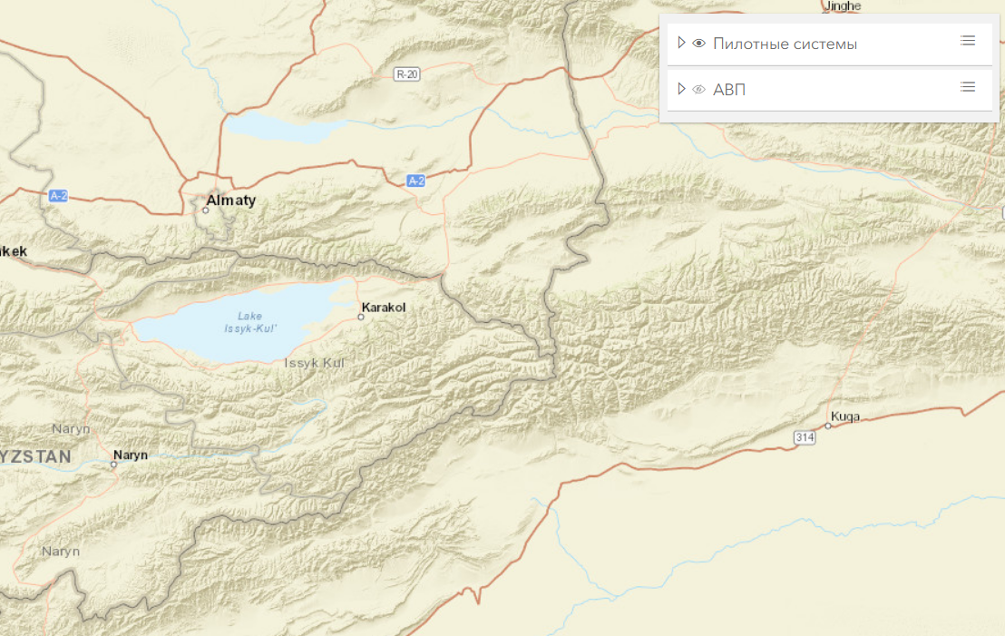
6 pilot systems and WUAs
Geo-information portal on 6 pilot systems and WUAs